Pingualuit Crater: The Crystal Eye of Nunavik
Explore the stunning Pingualuit Crater, a perfectly preserved meteorite impact site in the Canadian Arctic, known as the Crystal Eye of Nunavik.
AM
By Ava Martin

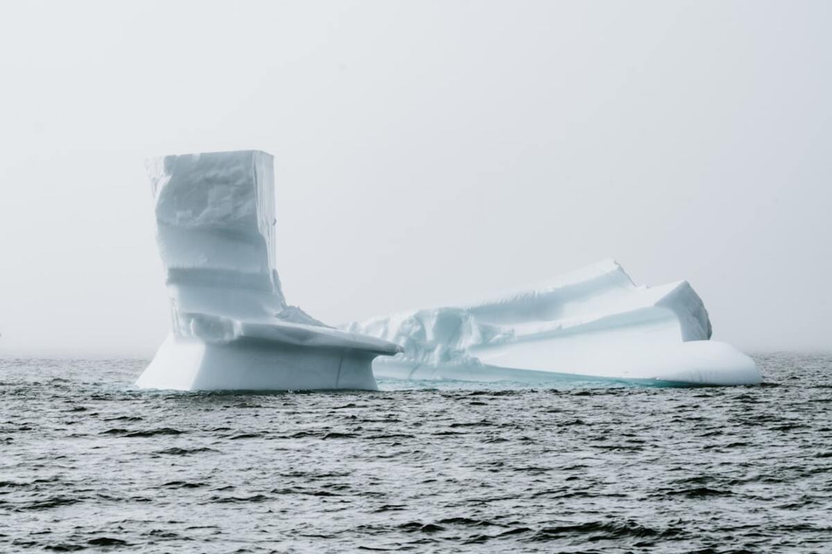
Aerial view of the Pingualuit Crater's azure lake, surrounded by the stark beauty of the Arctic tundra. (Photo by Annie Spratt)
Key Takeaways
- Pingualuit Crater is a 1.4 million years old meteorite impact site in Nunavik, Canada.
- It features a lake with some of the purest freshwater on Earth, free of inlets and outlets.
- The crater's remote location and harsh climate have preserved its pristine condition, making it a unique geological study site.
Introduction to Pingualuit Crater
Located in the remote stretches of Quebec's Nunavik region, the Pingualuit Crater is a geological marvel often referred to as the "Crystal Eye of Nunavik." This astonishing crater, measuring approximately 3.44 kilometers in diameter and 400 meters deep, was created by a meteorite impact roughly 1.4 million years ago. Unlike many other craters, Pingualuit's circular walls have been perfectly preserved, providing a unique opportunity for scientists to study an impact site unaltered by geological processes. The Pingualuit Crater stands out in the barren and icy landscape of the Arctic, offering a breathtaking view that attracts adventurers and scientists alike. Its formation and the story of its discovery provide a fascinating glimpse into Earth's past and the powerful forces that have shaped its surface.The Pristine Lake of Pingualuit
At the heart of this ancient crater lies one of the world's purest freshwater lakes. With a depth of 267 meters, the lake is filled by precipitation rather than streams or rivers, resulting in water that is remarkably clear and devoid of pollutants. The lake's purity offers scientists a rare opportunity to study the effects of climate change and biological evolution in an isolated environment. Among the most captivating features of the Pingualuit Lake are its unique eco-hydrological characteristics. The lake's lack of inlets and outlets makes it an endorheic basin, a rarity that has allowed its water to remain largely undisturbed over millennia. Researchers study the sediment layers within the lakebed to gain insights into historical weather patterns and environments, unlocking secrets of the Arctic's climatic history.Exploration and Preservation Efforts
Accessing the Pingualuit Crater is no simple task due to its remote location and harsh Arctic climate. The crater lies within the boundaries of Pingualuit National Park, which was established to protect this unique geological formation and its surrounding environment. The park, covering more than 1,000 square kilometers, aims to preserve not only the crater but also the rich biodiversity of the region, including caribou, Arctic foxes, and an array of bird species. Efforts to explore Pingualuit have been ongoing since its discovery in 1943 when a U.S. Army Air Force pilot spotted it from the air. Since then, several scientific expeditions have been conducted to study the crater's structure, lake ecology, and potential for insights into planetary geology.- 1943: Discovery of the crater by pilot Robert L. Cox.
- 1950: First scientific expedition led by Canadian scientists to study the crater.
- 2004: Designation of Pingualuit Crater as a National Park.
